skip to main |
skip to sidebar
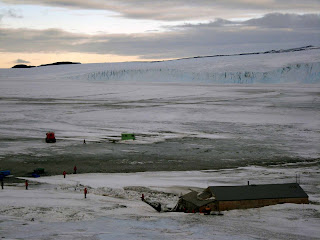
Cape Evans lies on the west side of Ross Island and is an important site for Antarctic exploration. The site was used as a headquarters for Scott's 2nd Expedition in 1910-1913. The hut, Scott's Hut, still stands and contains many of the items used by the expedition. Below is a picture from the hill that overlooks Scott's Hut (foreground) and across the sea ice toward a glacier terminus. The hut is quite large, 50 feet long and 25 foot wide. A stable building (for nineteen Siberian ponies) approximately 50 feet by 16 feet sits against the the main building. Scott intended to use the ponies (rather than huskies) to pull the sledges to the South Pole. The horses didn't fare too well, unfortunately. Neither did the explorers!
 The shelves remain stocked with food items, including a bottle of Heinz ketchup as well as the pickled onions, cabbage, and other sauces pictured below.
 The expedition team included a number of scientists (mostly biologists and geologists), who carried out some basic studies. Much of their equipment remains, including chemical reagents, glassware, scratch plates, bunsen burners, etc. A penguin lies on one table, still waiting to be dissected (not shown here).
 Scott ran his expeditions as military operations. The "officers" got the best quarters, while the "enlisted men" shared a warren of bunkbeds they referred to as "the tenements." Scott's bed is pictured below, with a candle for lighting and furs and woolen blankets for bedding. Some clothing is also stacked at the end of the bed. The walls around the beds are decorated with pictures, mostly cut from magazines.

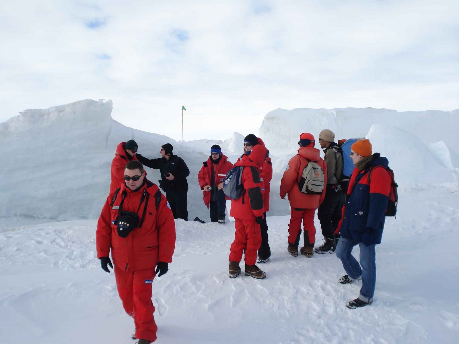
 Our target depth (and geologic time window of around 18 million years ago) was reached yesterday. Ours is the 2nd deepest drillhole in Antarctica.We're now concentrating on writing up our on-ice summaries and readying ourselves to return to the real world.

 The shelves remain stocked with food items, including a bottle of Heinz ketchup as well as the pickled onions, cabbage, and other sauces pictured below.
 The expedition team included a number of scientists (mostly biologists and geologists), who carried out some basic studies. Much of their equipment remains, including chemical reagents, glassware, scratch plates, bunsen burners, etc. A penguin lies on one table, still waiting to be dissected (not shown here).
 Scott ran his expeditions as military operations. The "officers" got the best quarters, while the "enlisted men" shared a warren of bunkbeds they referred to as "the tenements." Scott's bed is pictured below, with a candle for lighting and furs and woolen blankets for bedding. Some clothing is also stacked at the end of the bed. The walls around the beds are decorated with pictures, mostly cut from magazines.