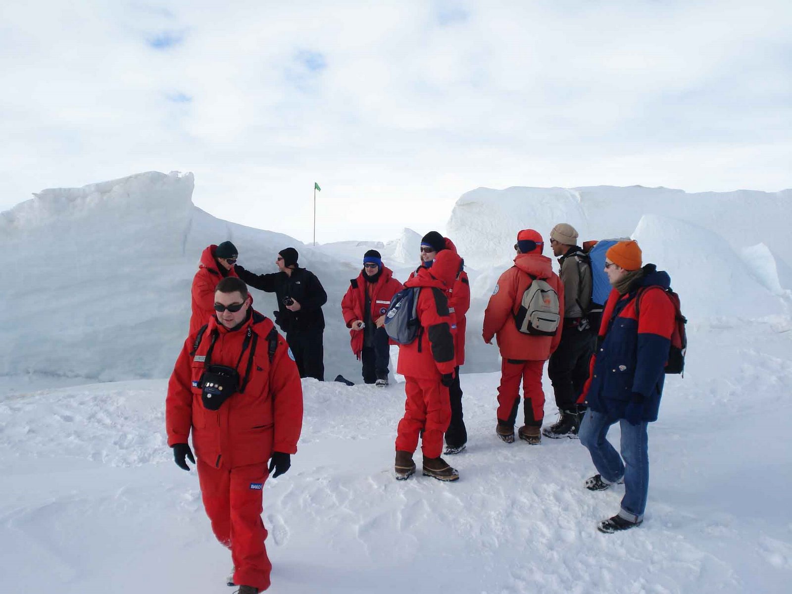
Yesterday I had the most amazing geology experience of my life. I was lucky enough to travel to Wright Valley, one of the Dry Valleys on the western side of McMurdo Sound and on the Antarctic mainland. These are valleys that receive almost no precipitation and so have little to no snow cover. The eight of us traveled by helicopter, leaving McMurdo Station around 8 AM.
We flew across the sea ice, past the ANDRILL drilling site, and into the Wright Valley. We flew first to the head of the valley to view a feature called the Devron Six Icefalls (below). This represents the very edge of the Antarctic ice cap, as it travels from the polar plateau and spills into the head of the valley.
 We then touched down on a nearby mesa called the Dias, which splits the valley in two. From here, we had fantastic views up and down the valley. Shown below is a shot looking seaward (away from the icefalls). The U-shaped valley profile is typical of valleys carved out by glaciers. The lake in the center is called Lake Vanda. It is one of the saltiest bodies of water on Earth. It is frozen over during most of the year, but melts around the edge to form a moat at the height of summer. Although frozen at the top, temperatures at the bottom (~200 feet down) are around 75˚F (25˚C). This is due to the high refractive index of the salty water and the activity of microbes (bacteria) that live at the bottom of the lake. Along the sides of the valley are smaller alpine glaciers that don't quite reach the valley floor.
 Below is a closer view of the alpine glaciers. This shot was taken from the air.
 The valley floor is covered by loose cobbles and sand, which was transported by glaciers that have filled the valley at times in the past. It made for difficult walking! Below is a picture of the valley floor. The black rocks, called ventifacts, have been polished and faceted over hundreds to thousands of years by the wind.
 There are numerous seal carcases around the place. Radiocarbon ages suggest that some are several thousand years old. Most are young males. It's thought that they were driven away from their groups by older males and wandered off to find harems of their own. Unfortunately, they chose to wander landward and ended up too far from the sea.

On the trip back, we flew across the mountain ranges before heading out across the sea ice. Below is a view looking toward Mt Erebus, which lies behind McMurdo Station on Ross Island. The sea ice edge is visible in the middle left part of the picture, where the white sea ice meets the blue water. The sea ice is melting, and the edge is creeping ever closer! Summer is coming to Antarctica.